Current version:
3.77
from 6.4.2024
czechCzech

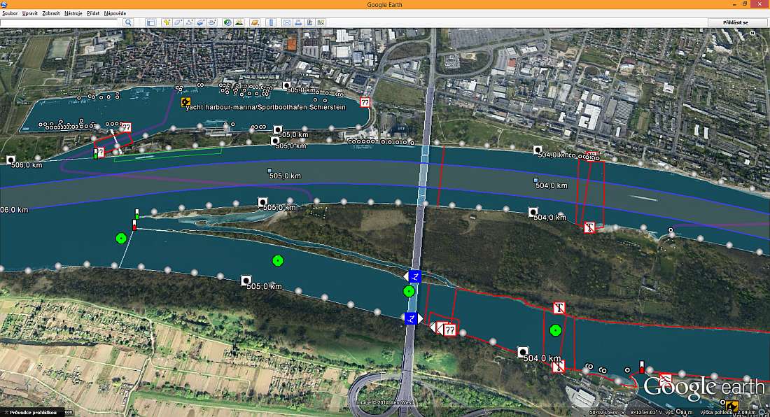
European Waterways Routable Map for Garmin Receivers

I will be grateful for any comments to improve the map and also for links to other Electronic Navigational Charts or their updates.
Zdeněk Hrdina (hrd at email dot cz)


Menu

Home

Coverage

Topicality

Download

Links

FAQ

Changes

KML

IENC USA

Lowrance

Documents

Donation

free counters

Valid HTML 4.01 Transitional

Valid CSS!

KML

This site is primarily concerned with navigational maps for Garmin GPS receivers. This fact restricts the use of them. On the basis suggestions of my friends I have converted some objects of the map into the format KML (Keyhole Markup Language), which enables to view them in Google Earth.

You can download these files (in the format KMZ, i.e. zipped KML) for individual states:

The picture below shows the same extract of the river Rhein in Germany as one in the homepage
google_earth_d.jpg