|


|
FAQ
I can't see Waterways on my 64b PC after the installation waterways.exe.
There is probably an error in registry. Check by regedit, if the key of Waterways is HKEY_LOCAL_MACHINE\ SOFTWARE\ Wow6432Node\ Garmin\ Mapsource\ Families\ Waterways
If the key is wrong, you can use the file waterways.reg, which is valid, if Waterways were installed in the directory c:\Garmin
(in other case of directory you have to correct the file soubor waterways.reg to the other directory).
Waterways aren't available in BaseCamp after the installation waterways.exe
You have to use Mapsource, nRoute or HomePort. Waterways are marine maps, which are ignored by BaseCamp.
If you really want to see Waterways in Basecamp, you need replace the file waterways.tdb by this file in the folder,
where you have installed Waterways (by default X:\Garmin\ Waterways). This trick will change Waterways into "land" map visible in Basecamp.
Be prepared, that the marine symbols will look different in the "land" version than "marine" one and by my meaning it is uglier in the land version.
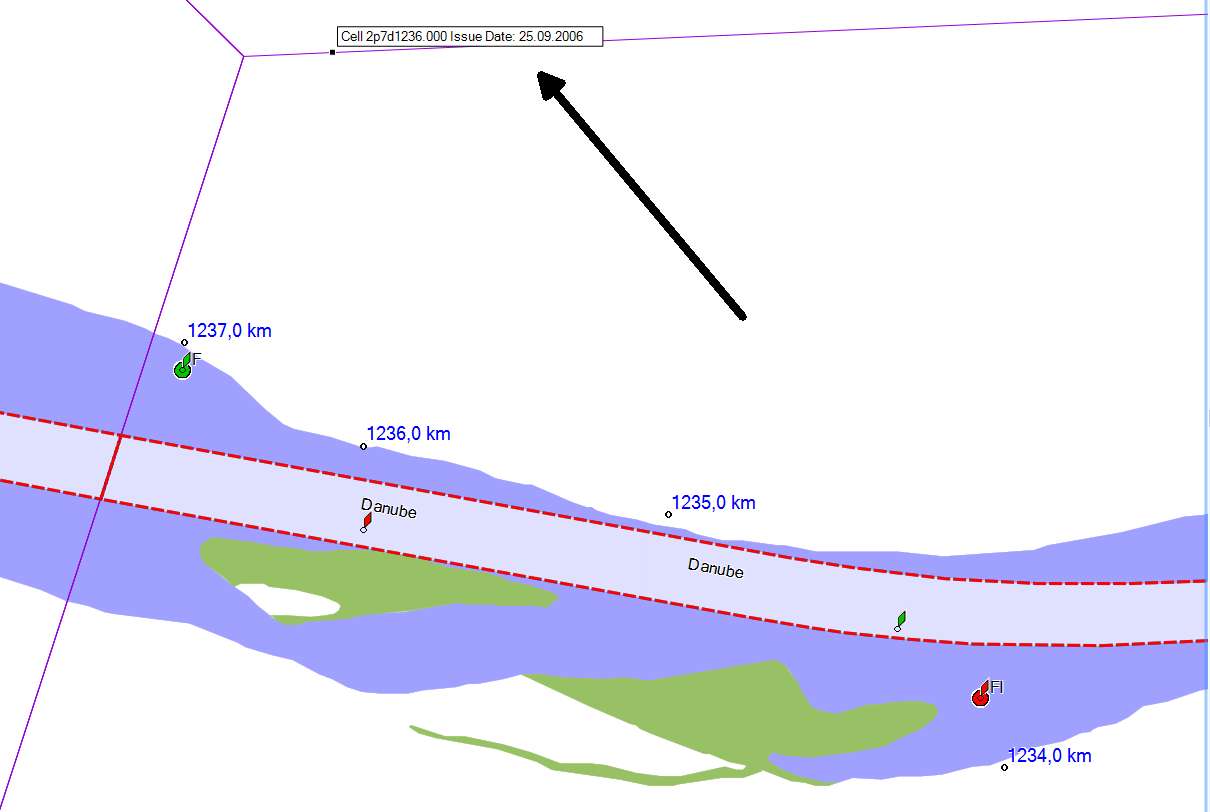
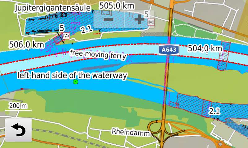
I can see a porthand (red) buoy on the right side of a waterway and vice versa. Isn't it wrong?
Is sounds like a paradox, but it is right. The general direction for the definition, what is porthand or starboard, is taken by the mariner when approaching a harbour from seaward or river upstream. The banks are named as seen when facing downstream. This means that sailing upstream, the right bank is on the port side and the left bank is on the starboard side.
When you aren't sure, if you are sailing upstream or downstram (that can be only by definition at some canals), then if you have on the porthand side a red buoy or on the starboard side a green buoy (IALA A or CEVNI - we are in Europe), you are sailing upstream. And vice versa.
Is possible to use this map in a marine chartplotter?
Yes, it is. However it is necessary to keep in mind that the map looks different and, unfortunately, worse than in a PC.
The reason is that marine chartplotters (unlike handhelds or automotive receivers) do not support the TYP file,
in which you can define your own types (ie. polygons, lines or points) and at polygons you can also define in the TYP their priority, ie. determine which polygon should be displayed on top of second one.
In chartplotters there are displayed only those types which are defined in the firmware of the receiver and
therefore you can't see for example any notice mark.
Similarly, due to inability to control the priority of polygons, there exists an undesirable overlap an "unimportant" polygon over the "important" one in some places.
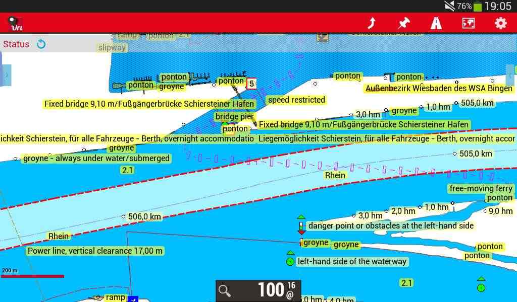
Is possible to use this map in a tablet with Android?
Yes, it is possible in program OruxMaps. You have to use the nonmarine version of Waterways - see the page Download. You can see on the picture, how the map loks on a 7' tablet.
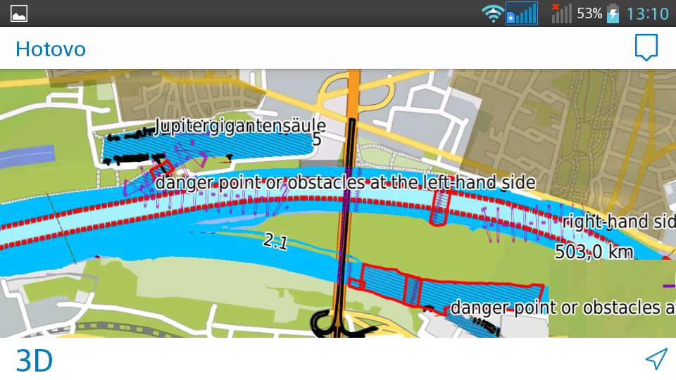
Another possibility is to use Viago from Garmin. The picture shows Waterways together with map of Europe on my android phone.
Because Viago exists on Apple store too, yo can see Waterways on your Iphone or Ipad too.
Is possible to use this map in a automotive receivers?
Yes, it is. However, you have to use the nonmarine version of Waterways - see the page Download. You can see on the picture, how the map looks on Nuvi 3790 (in the combination with CNE).
|
|
| Abb. | Meaning | Definition
|
| F | fixed | A signal light that shows continuously, in any given direction, with constant luminous intensity and colour
|
| Fl | flashing | A flashing light in which a flash is regularly repeated at rate of less than 50 flashes per minute.
|
| LFl | long flashing | A flashing light in which an appearance of light of not less than 2s duration (long flash) is regularly repeated
|
| Q | quick flashing | A light in which flashes are regularly repeated at a rate of not less than 50 flashes per minute but less than 80 flashes per minute.
|
| VQ | very quick flashing | A light in which flash are repeated at a rate of not less than 80 flashes per minute but less than 160 flashes per minute
|
| UQ | ultra quick flashing | A light in which a flash is regularly repeated at a rate not less than 160 flashes per minute
|
| Iso | isophased | A light in which all the durations of light and darkness are clearly equal.
|
| Oc | occulting | A light in which the total duration of light in each period is clearly longer than the total duration of darkness, and the intervals of darkness (eclipses) are usually of equal duration
|
| IQ | interrupted quick flashing | A quick light in which the sequence of flashes is interrupted by regular repeated eclipses of constant and long duration
|
| IVQ | interrupted very quick flashing | A very quick light in which the sequence of flashes is interrupted by regularly repeated eclipses of constant and long duration
|
| IUQ | interrupted ultra quick flashing | An ultra quick light in which the sequence of flashes is interrupted by eclipses of long duration
|
| Mo | morse | A light in which appearances of light of two clearly different durations are grouped to represent a character or characters in the Morse Code
|
| FFl | fixed/ flash | A fixed light varied, at regular intervals, by a flash of higher luminous intensity
|
| FLF | flash/ long-flash | "flashing" excepting the final appearance of the light, which is longer
|
| OcFl | occulting/ flash | "occulting" superimposed on which is a flashing light
|
| FLFl | fixed/ long-flash | "fixed flashing" in which a single flash of not less than two seconds duration is regularly repeated
|
| OcAl | occulating alternating | "occulting" but alternating in two or more colours
|
| FlAl | flash alternating | "flashing" but alternating in two or more colours
|
| Q+LF | quick flash plus long flash | A light in which a group quick light is combined with a long-flashing light
|
| VQ+LF | very quick flash plus long flash | "very quick flashing" and all of the appearances of light are of equal duration excepting the final one, which is longer
|
| UQ+LF | ultra quick flash plus long flash | "ultra quick flashing" and all of the appearances of light are of equal duration excepting the final one, which is longer
|
| Al | alternating | A signal light that shows, in any given direction, two or more colours in a regularly repeated sequence with a regular periodicity
|
| FAl | fixed and alternating flashing |
|
 Czech
Czech